
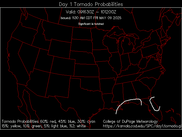
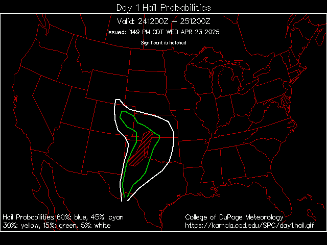


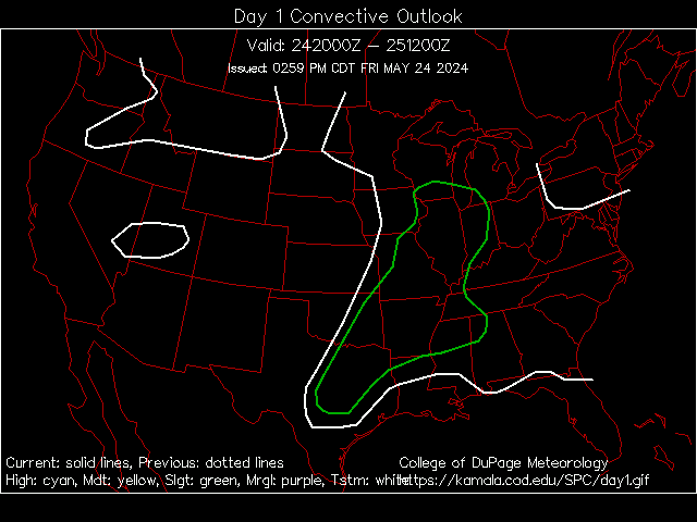
| Day 1 Outlook Graphic Text Torn Hail |
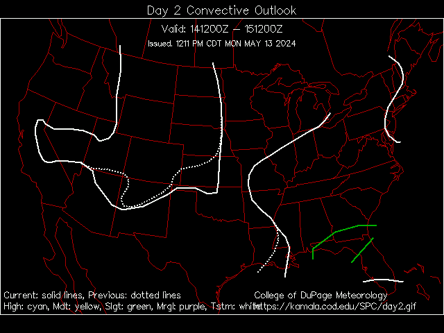
| Day 2 Outlook Graphic Text Prob |
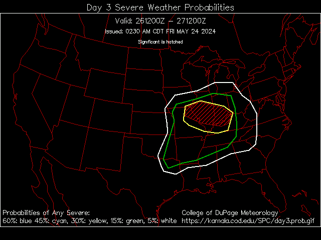
| Day 3 Outlook Graphic Text Prob |
| Day 4 Outlook Graphic Text |
| Warnings Reports SPC Storm Reports |
| Forecast Discussions |
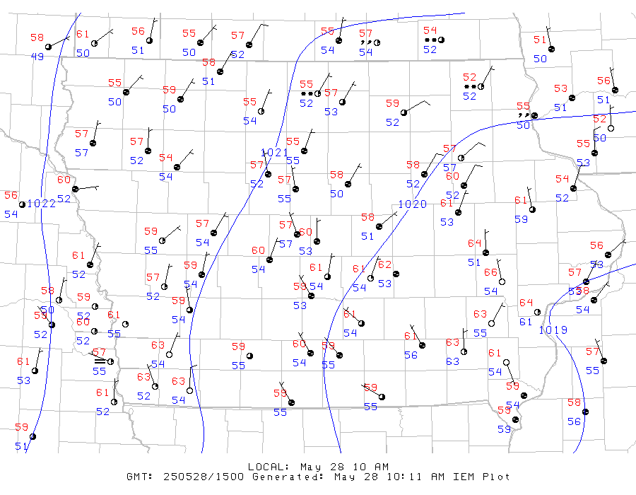
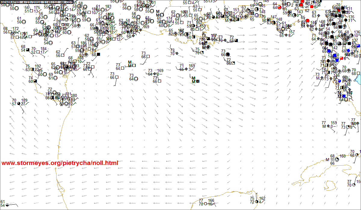
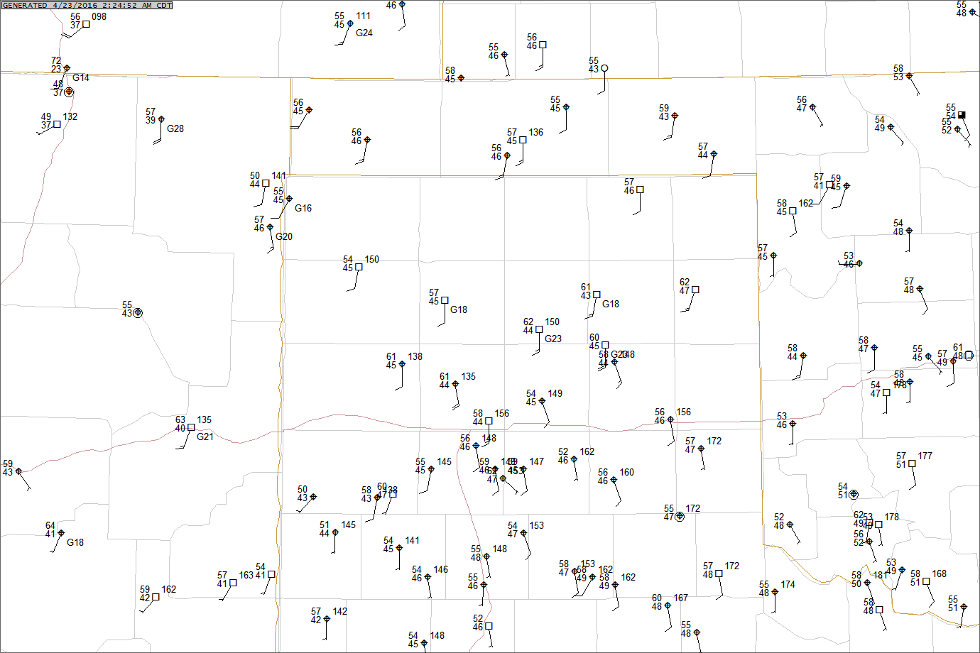
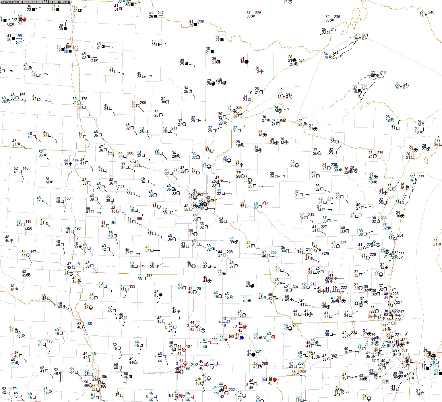
| NM TX OK KS NE CO SD ND IA TN MO FL |
| Hazardous Weather Outlooks |
| NM TX OK KS NE CO SD ND IA TN MO FL |
| LRF Threats NCEP |


